By Caribbean News Global ![]()
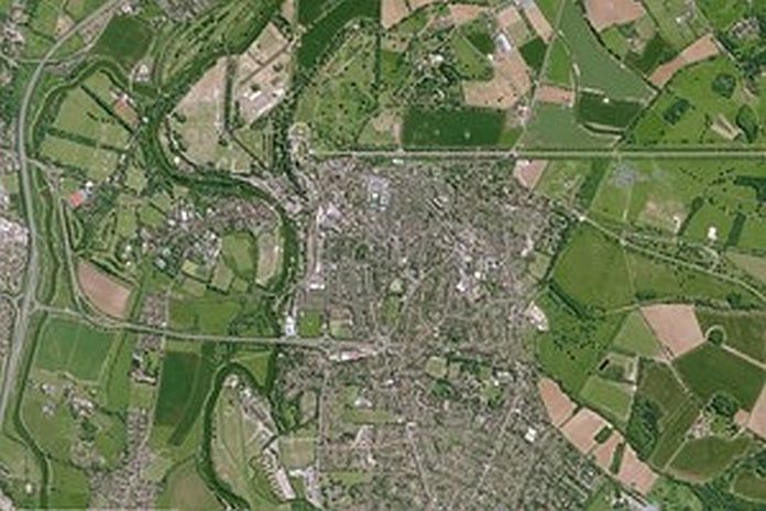
LONDON, England – The first of its kind data archive, launched by the UK Space Agency’s Space for Smarter Government Programme (SSGP) has updated its free optical and radar data sets of Britain and Northern Ireland. The public sector can access new satellite images of the UK to help issues such as town planning and flood mapping.
The data, originally made available in March 2019, is intended to benefit the public sector in areas such as planning and development and environmental monitoring while boosting further growth in the UK’s world-leading space industry, which already employs nearly 42,000 people.
Ryan King, UK Space Agency’s SSGP manager said: “Since we first made this kind of data available to the public sector just over a year ago, we have seen 188 expressions of interest across 98 public sector bodies, and nearly 40 collaborations between government, industry, and academia. We have already seen this data used for flood mapping, infrastructure monitoring, machine learning, and habitat classification to name a few.
“Now we have added more available data to provide higher temporal resolution across key urban areas and infrastructure locations such as London, Liverpool and the North East of England, as well as several stacks of synthetic aperture radar imagery, to enable much more detailed change detection. From this, we hope to see the public sector and wider supply chain working together to explore how high-resolution satellite imagery can address key current challenges like remote asset management and environmental impacts such as the use of natural resources and changes in land use.”
SSGP is working to help government departments understand how they can use Earth observation (EO) data and create opportunities for new collaborations with industry and academia, as well as overcoming the cost barriers to test the capabilities of high-resolution imagery.
The archive data will be available for up to two years to explore what role high-resolution satellite data could have in public sector delivery, and SSGP is developing hands-on training for civil servants on how to process and use the data.
The data has been made freely available to government through the Sentinel Data Access Service (SEDAS portal) hosted by the Satellite Applications Catapult for the purpose of research and development (R&D). Industry and academia can also access the data providing they have a demonstrable public sector sponsor and use case.
Downloadable documents to register.
To request access, email: ssgp@ukspaceagency.gov.uk


